Cemeteries and Burials
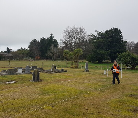
Southern Geophysical have been producing up-to-date cemetery and urupā maps throughout New Zealand for over 20 years and have identified hundreds of unmarked burials along the way
Geophysical surveying can offer a cost-effective, non-invasive, method of mapping cemeteries to maximise land usage and to extend the useful lifetime of the land they occupy. Geophysics can also allow new cemetery areas to be rapidly and suitably evaluated. Our team have the expertise and experience to assist in your project.
Click below to read more about our urupā and cemetery mapping or request a comprehensive project proposal from our cemetery expert.
Map of unmarked burials from our Southern Lakes Cemeteries feature project.

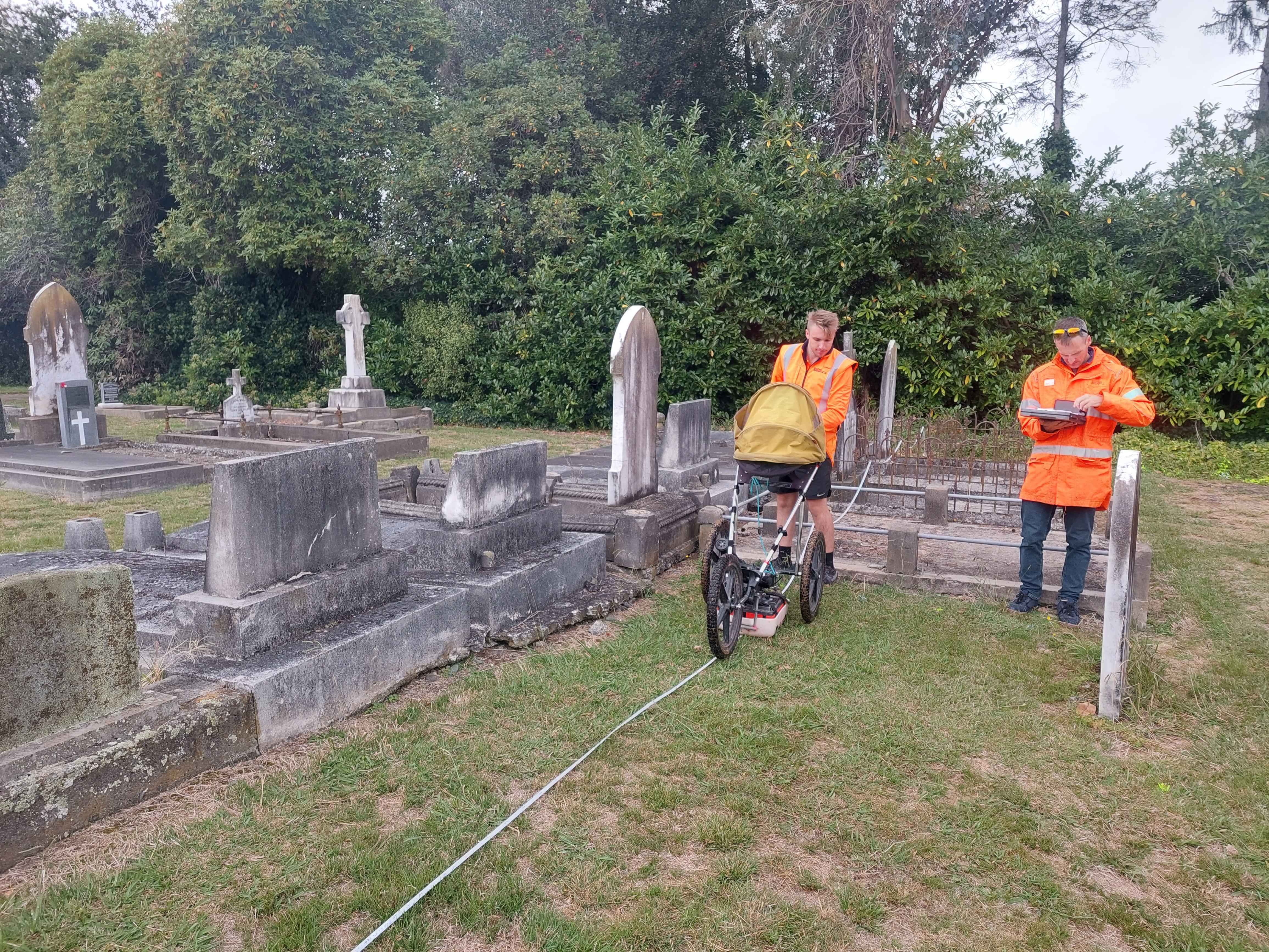
Ground Penetrating Radar (GPR)
Ground Penetrating Radar is the most effective geophysical technique for imaging shallow subsurface features such as burials. As a buried body and/or coffin naturally degrades, it creates subsurface voids that are distinctly visible in the GPR data. GPR also highlights areas of excavation where sedimentary horizons have been disturbed in the internment process.
Magnetic Gradiometer
Magnetic Gradiometer works by measuring tiny variations in the natural magnetic field gradient of the subsurface. The localised changes in magnetic readings can indicate the presence of a burial. A gradiometer can be used in clay rich soils or saturated soils that would generally hamper GPR surveys.