Bay of Plenty Solar Farm Investigation


Southern Geophysical undertook a large Ground Penetrating Radar (GPR) survey and ground resistivity measurements at a proposed solar farm in the Bay of Plenty
The purpose of the GPR survey was to identify any near surface expressions of the Edgecumbe and Rotoitipakau Fault Zones where they are inferred by GNS but have no obvious surface expression. The fault systems are described by GNS as normal faults, with the downthrown side of the faults to the north-west. Therefore, the survey was designed to capture vertically offset stratigraphic sequences, such as sub-horizontal sedimentary units or layered volcanic deposits.
Our client requested three complete transects of the survey area, running roughly perpendicular to the fault zone as projected in the GNS fault database. The site conditions were suitable for rapid GPR surveying, enabling three parallel survey lines to be captured at each of the proposed transects, improving the likelihood of detecting the fault zone if any appreciable vertical offset is present. Additionally, 17 GPR lines were captured perpendicular to the fault zone, spread across two fault zone locations as presented in the GNS database. These perpendicular lines were captured to identify laterally offset subsurface features if the fault motion was not exclusively normal, having a measurable component of strike-slip.
No clear features indicative of a continuous fault zone were identified within the GPR survey results. A number of continuous sub-horizontal structures or depositional units were present which showed no significant offset typically associated with faulting. These sub-horizontal features often terminated in zones with no horizontal structures or deposition layers, which appeared typical of reworked river deposits and swamp environments, including the presence of large trees or boulders.
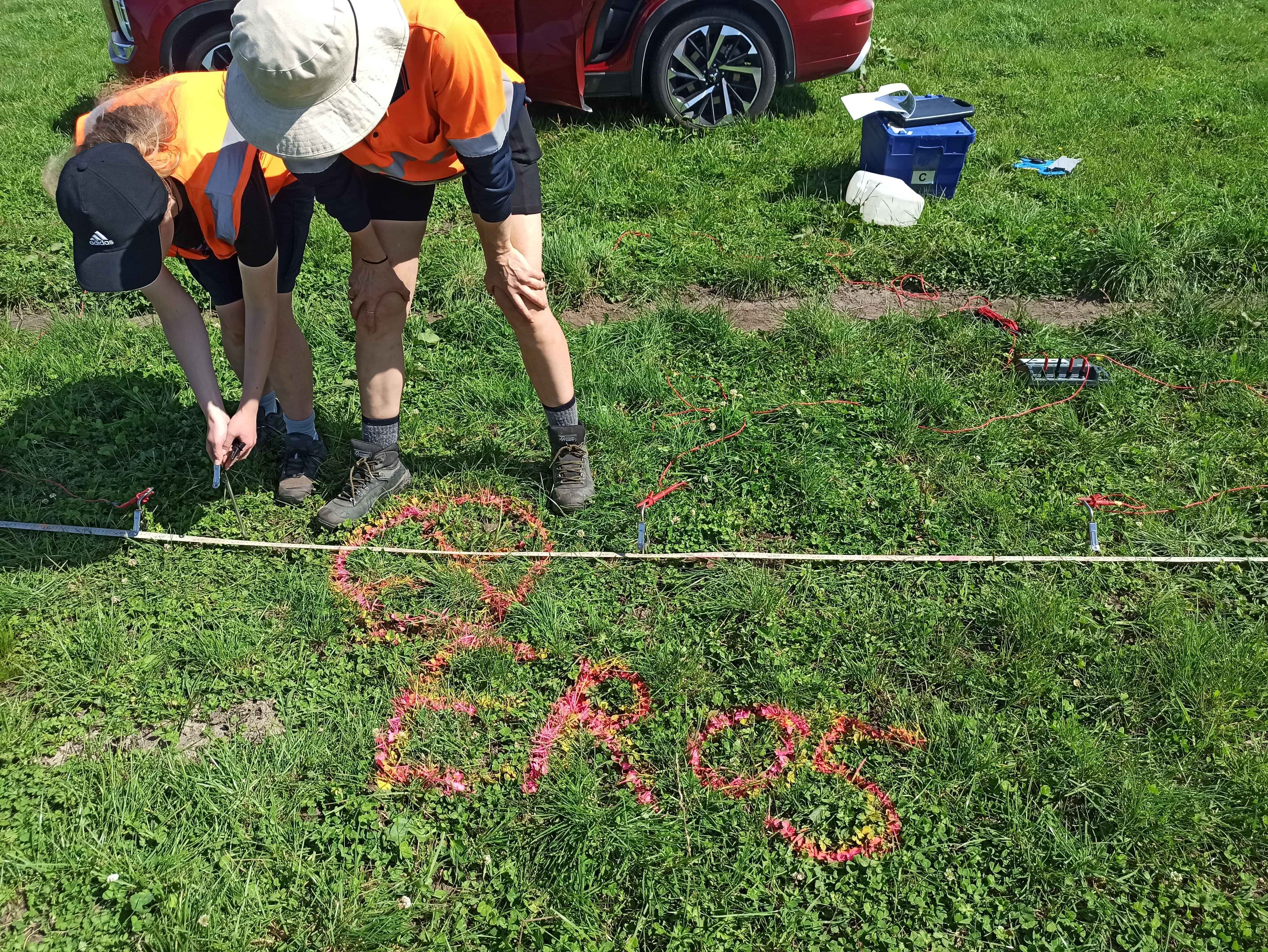
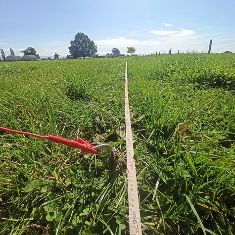
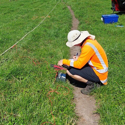
Ground resistivity testing was undertaken at key locations provided by the client. The testing allowed the client to determine the ground resistance for improving grounding and corrosion design. The nearby proximity of stock lanes and waterways dictated the orientation of the electrode configuration, with three repeat measurements captured at each location. Resistivity values are consistent with the volcanic deposits of the area.


