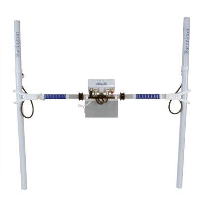
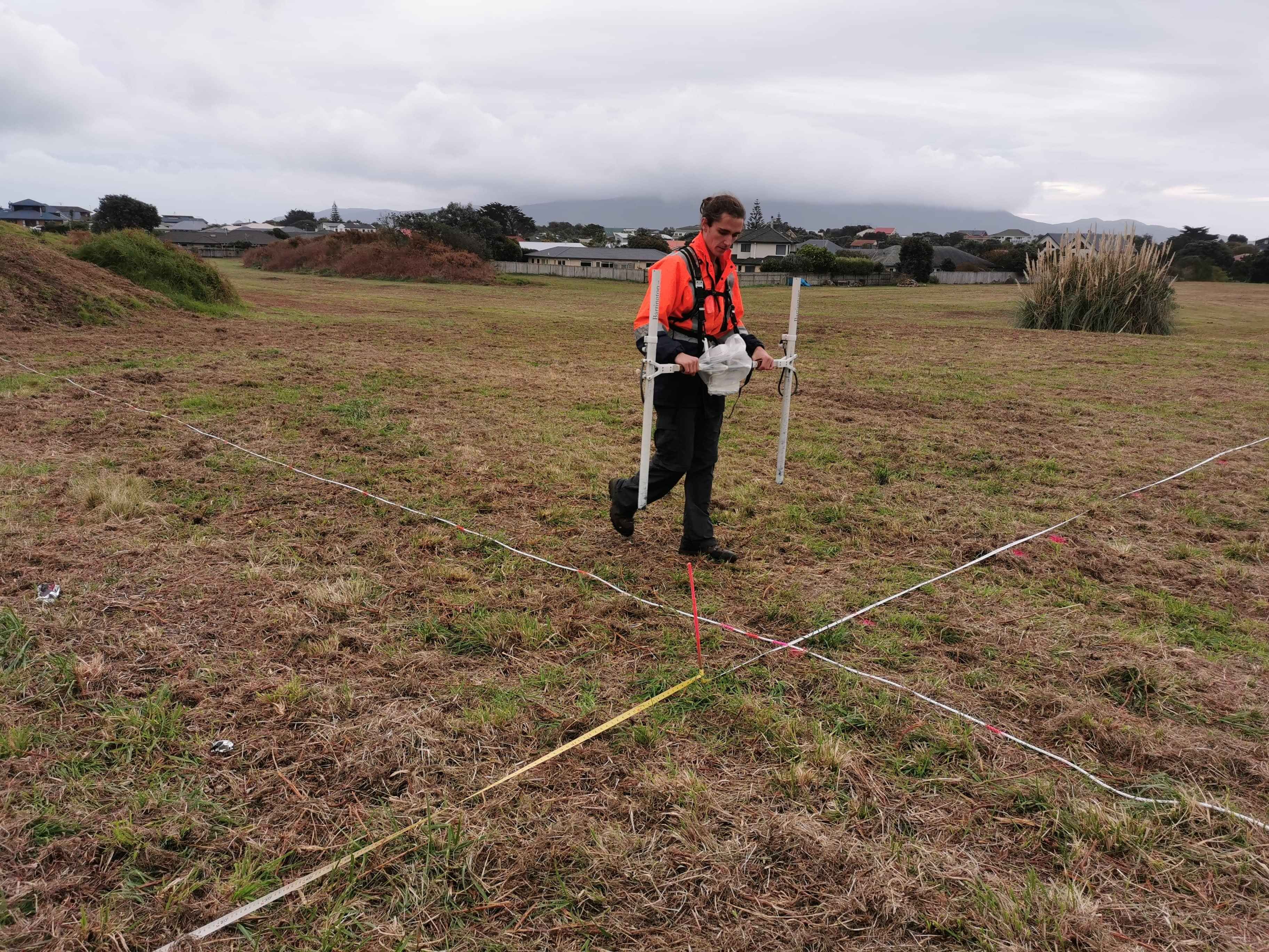
Bartington dual probe gradiometer with real time GNSS for magnetic surveys.
Magnetics and Gradiometer Surveys
Southern Geophysical excels in magnetic and gradiometer surveys which can reveal subsurface details crucial for mining, archaeology, and engineering projects
Magnetic Surveys
Magnetic surveys are based on measuring very small variations in the earth’s magnetic field caused by variations in the magnetic properties of sub surface materials. If you measure the total magnetic field, it is called magnetic surveying. If you simply measure the gradient of the magnetic field, it is referred to as a gradiometer survey. Magnetic surveys are often used in the mining sector to investigate regional geological trends or mineralisation. Gradiometer surveys are commonly used for small-scale archeology, burial mapping and engineering surveys.
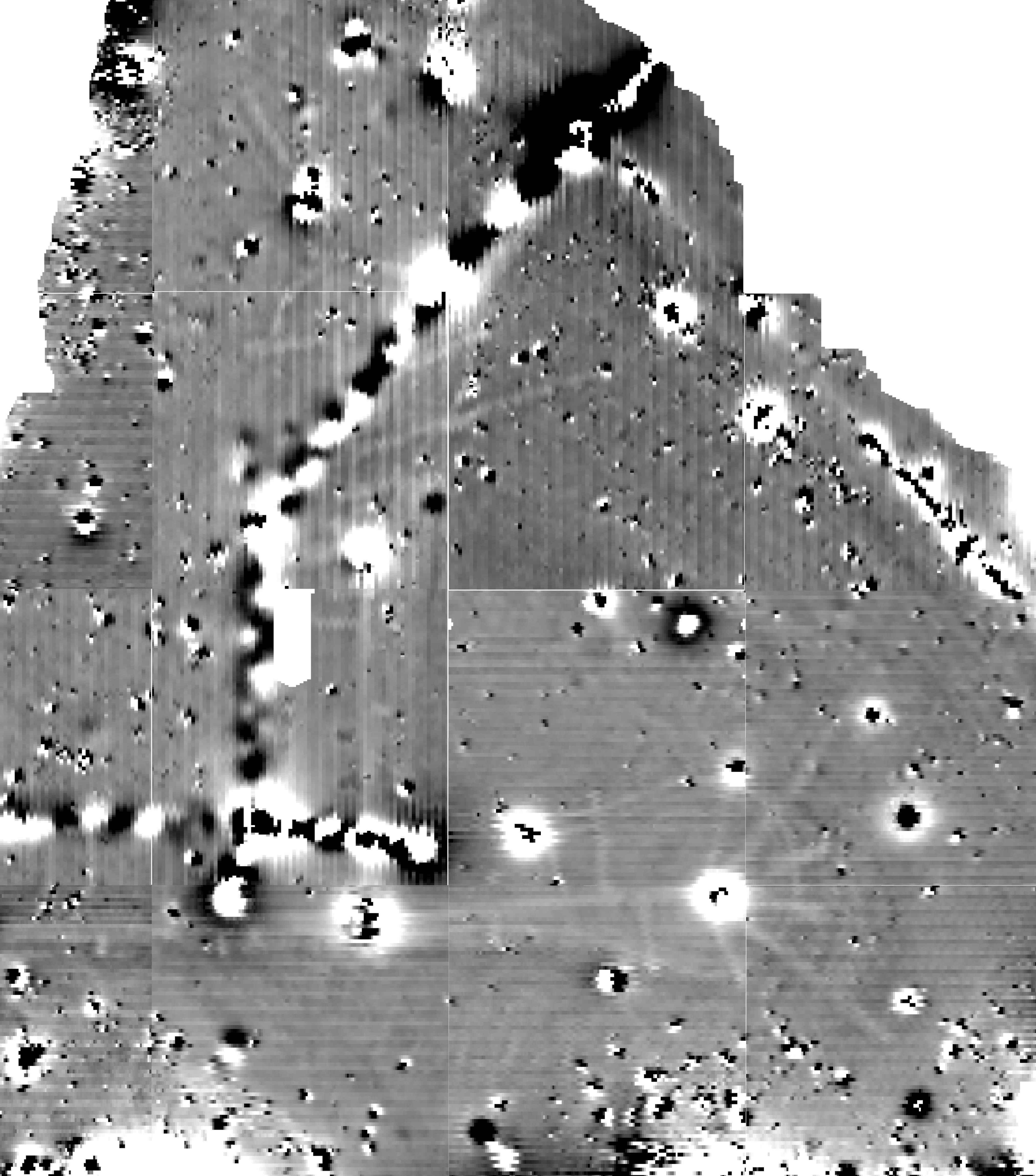
The results of magnetic surveys are usually presented as three-dimensional maps showing the variation in either magnetic field or field gradient.
Magnetic and gradiometer surveys can be used for:
Detecting metallic buried objects
(UXO, UST, buried drums or landfill mapping)Historic burials
Volcanic rock mapping
Well head locating
Magnetic Gradiometer
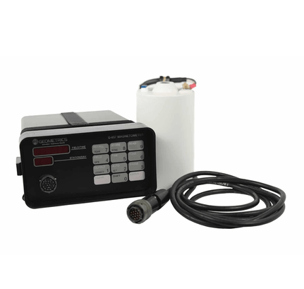
One of the most sensitive pieces of equipment we utilise is a Geomatrix Grad601-2 magnetic gradiometer, capable of detecting changes in the subsurface down to the nano-tesla level. This system detects changes in the strength of the local magnetic field and is perfect for detecting anomalies in a fairly homogenous subsurface, such as sandy deserts or dunes. Southern Geophysical often use the gradiometer for archaeology projects to detect buried structures and to detect historic and Maori burials.