Deep Metal Detection Surveys
Southern Geophysical utilises precision metal detection and magnetic gradiometers for nano-tesla sensitivity in subsurface anomaly mapping
EM61 Metal Detection
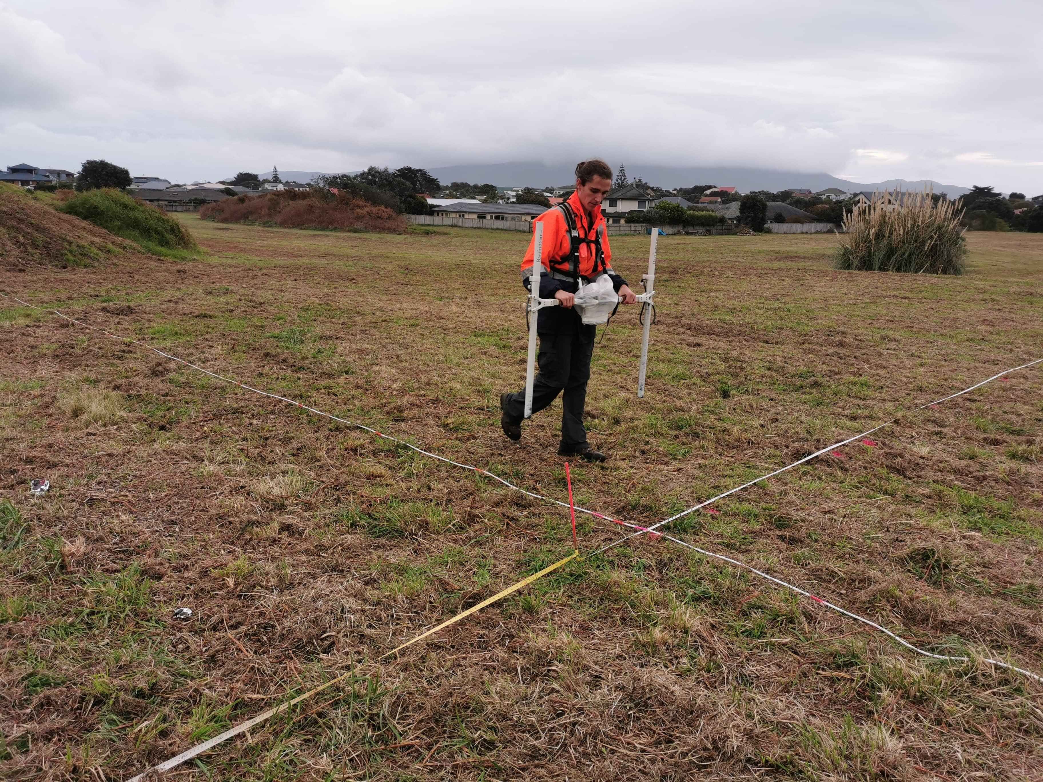
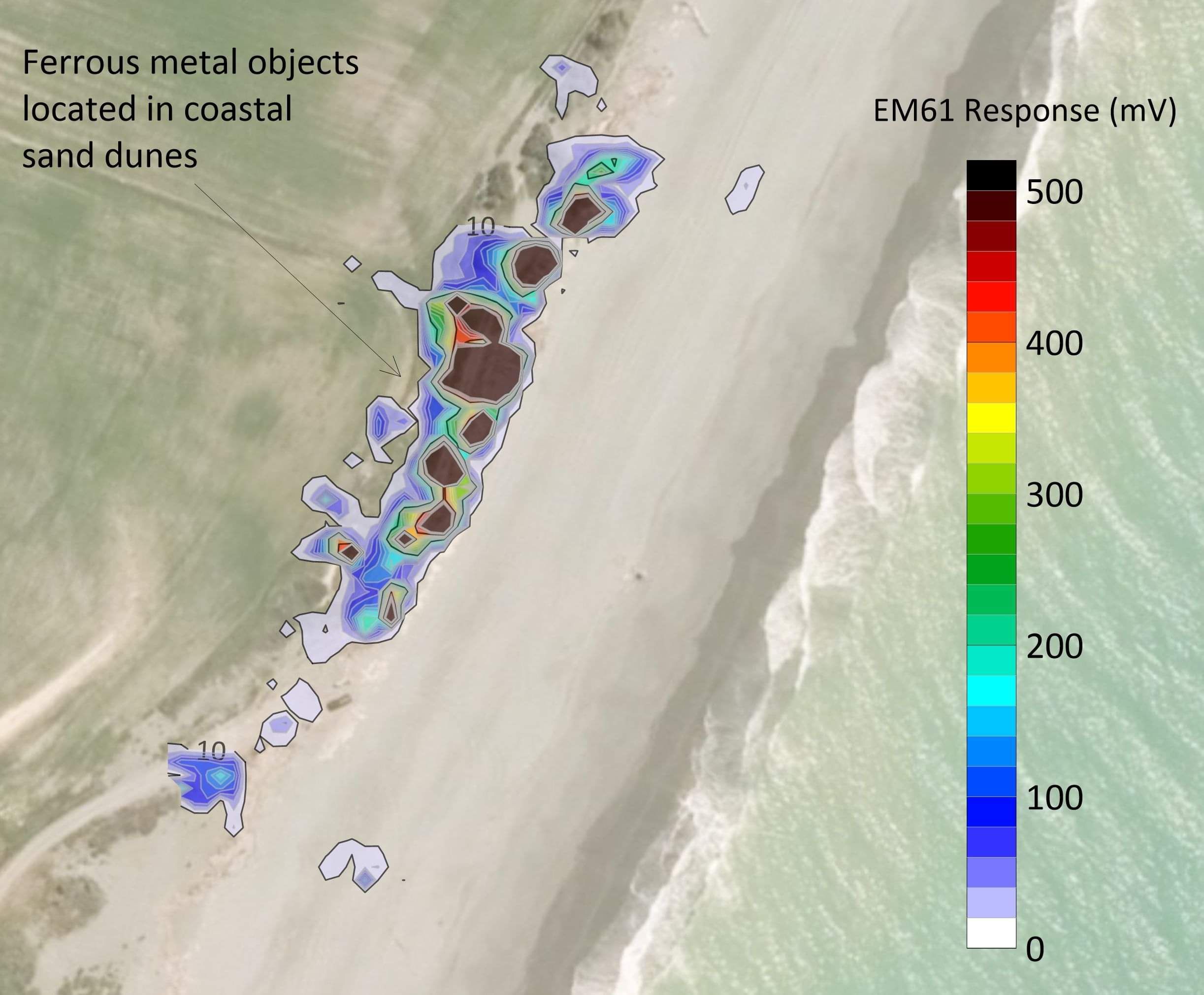
Southern Geophysical has an EM61-MK2 which is a highly sensitive metal detector connected to a GNSS positioning system. It can locate both ferrous and non-ferrous metal in the subsurface down to several metres. The GNSS data capture enables maps to be created, showing the location of metal objects with an accuracy of +/- 10 cm (when differentially corrected). The most common applications for a EM61 system are locating unexploded ordinances (UXO), underground storage tanks (UST) and utility mapping. Other applications include delineating the extents of landfill, locating archeological items, locating buried wells, and even gold and other ore prospecting.
Metal Detection (EM31)
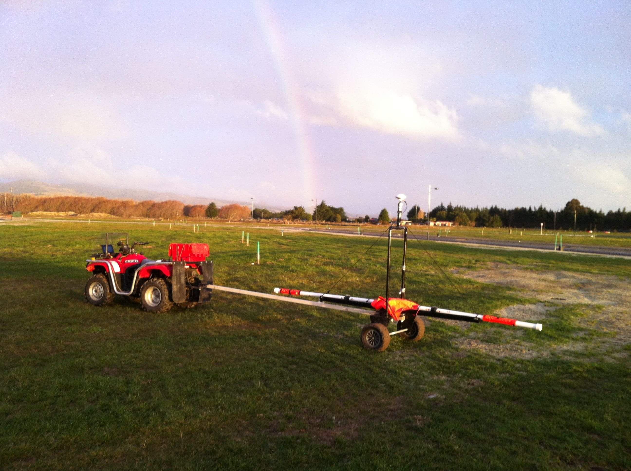
Alongside ground conductive measurements, an EM31 system is also capable of detecting ferrous metals in the subsurface to a depth of approximately six meters. This makes an EM31 the perfect choice for locating larger but deeper metal objects, such as buried tanks or structures.
Magnetic Gradiometer
One of the most sensitive pieces of equipment we utilise is a Geomatrix Grad601-2 magnetic gradiometer, capable of detecting changes in the subsurface down to the nano-tesla level. This system detects changes in the strength of the local magnetic field and is perfect for detecting anomalies in a fairly homogenous subsurface, such as sandy deserts or dunes. Southern Geophysical often use the gradiometer for archaeology projects to detect buried structures and to detect historic and Maori burials.