Fault Mapping
Southern Geophysical employ diverse methods to accurately locate and assess faults for safety and regulatory compliance
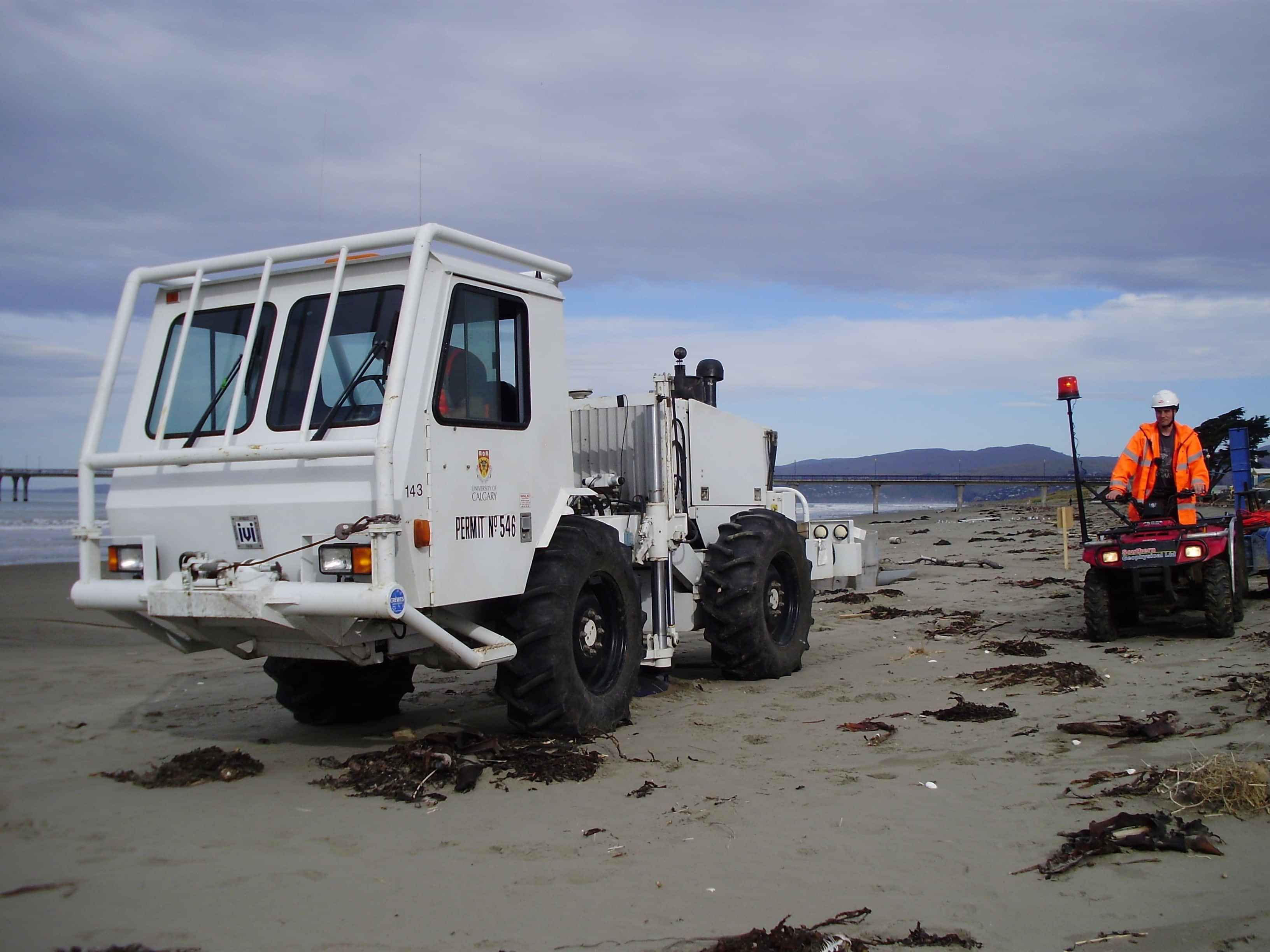
Geophysical methodologies, including fault mapping, can either find evidence of faulting using near surface investigation methods, or can be used to look deeper and image the whole fault structure. Knowing the location of faults is critical for hazard analysis and emergency preparation and can be a requirement for certain buildings such as schools and hospitals.
The most common fault mapping methods are: