Solar and Wind Farm Investigations
Southern Geophysical can map bedrock, determine shear wave velocities, voids, and resistivity for efficient construction planning of solar and wind farms
Solar and wind farm geophysical surveying encompasses a wide range of geophysical methods, tailored to suit specific goals. Common requirements are mapping the bedrock profile, obtaining shear-wave velocities for ground stiffness calculations, identifying voids and sinkholes, and obtaining electrical resistivity properties for subsurface mapping or earthing applications.
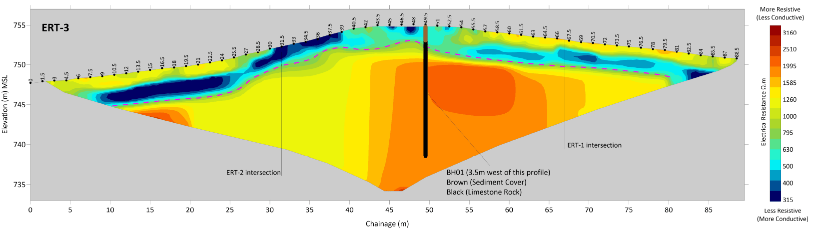
The above image shows an electrical resistivity profile correlating well to a nearby borehole log, at a location intended for the construction of a wind turbine. Tying physical investigations together over large distances is a significant strength of geophysical surveying as we can gather results in a rapid and cost-effective way. This gives confidence that the ground between invasive investigations is well understood.
Ground Resistivity Testing
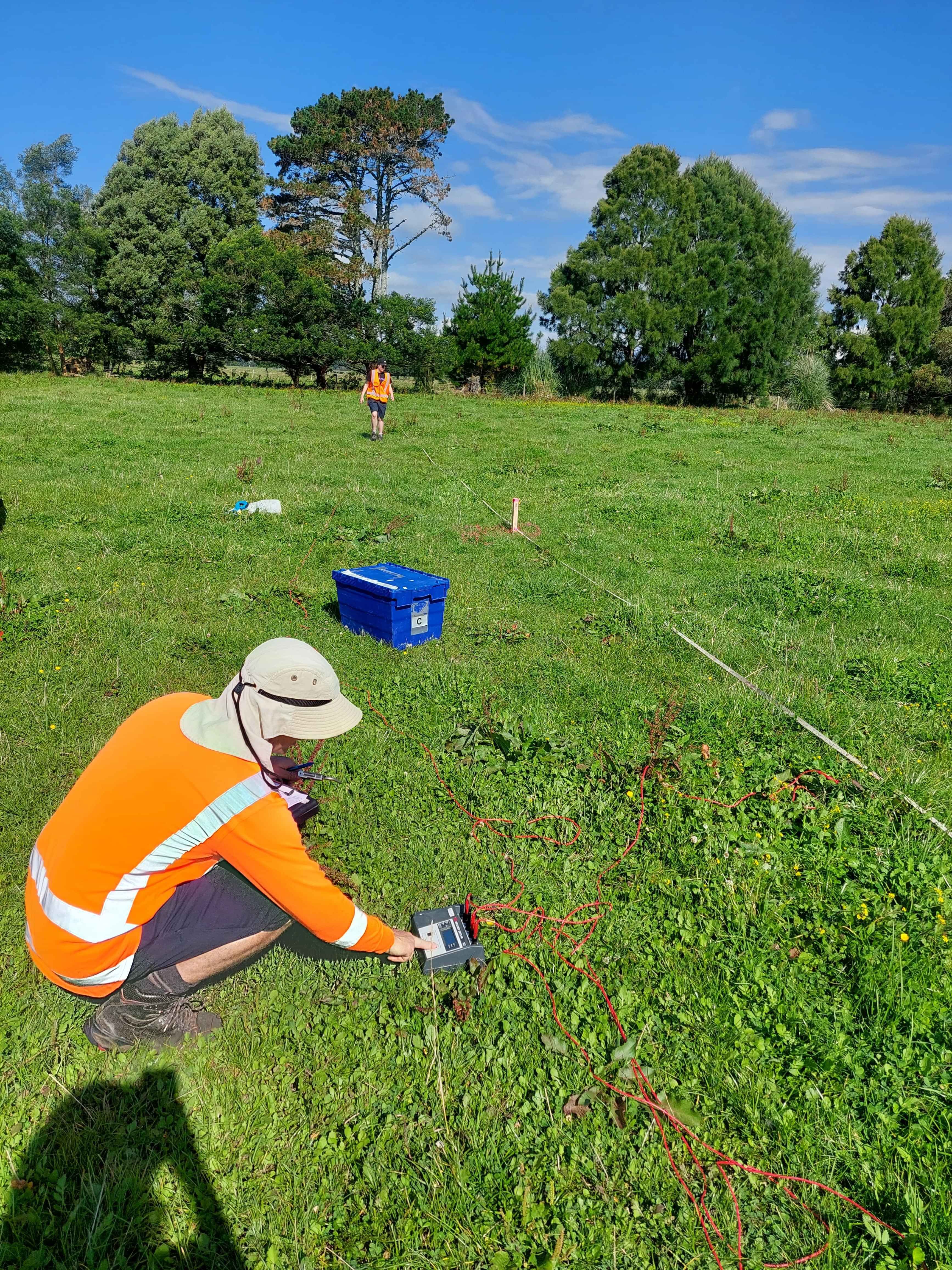
The infrastructure for solar and wind farms requires earthing cables or cathodic protection systems which are appropriate for each location. A Four-probe Wenner Survey is a standard method for testing the electrical resistivity of the ground at specific locations down to any required depth (typically 10 to 20 metres). The data is captured as per the ASTM G57-20 standard method, and the results are graphed for easy interpretation.
Multi-channel Analysis of Surface Waves (MASW)
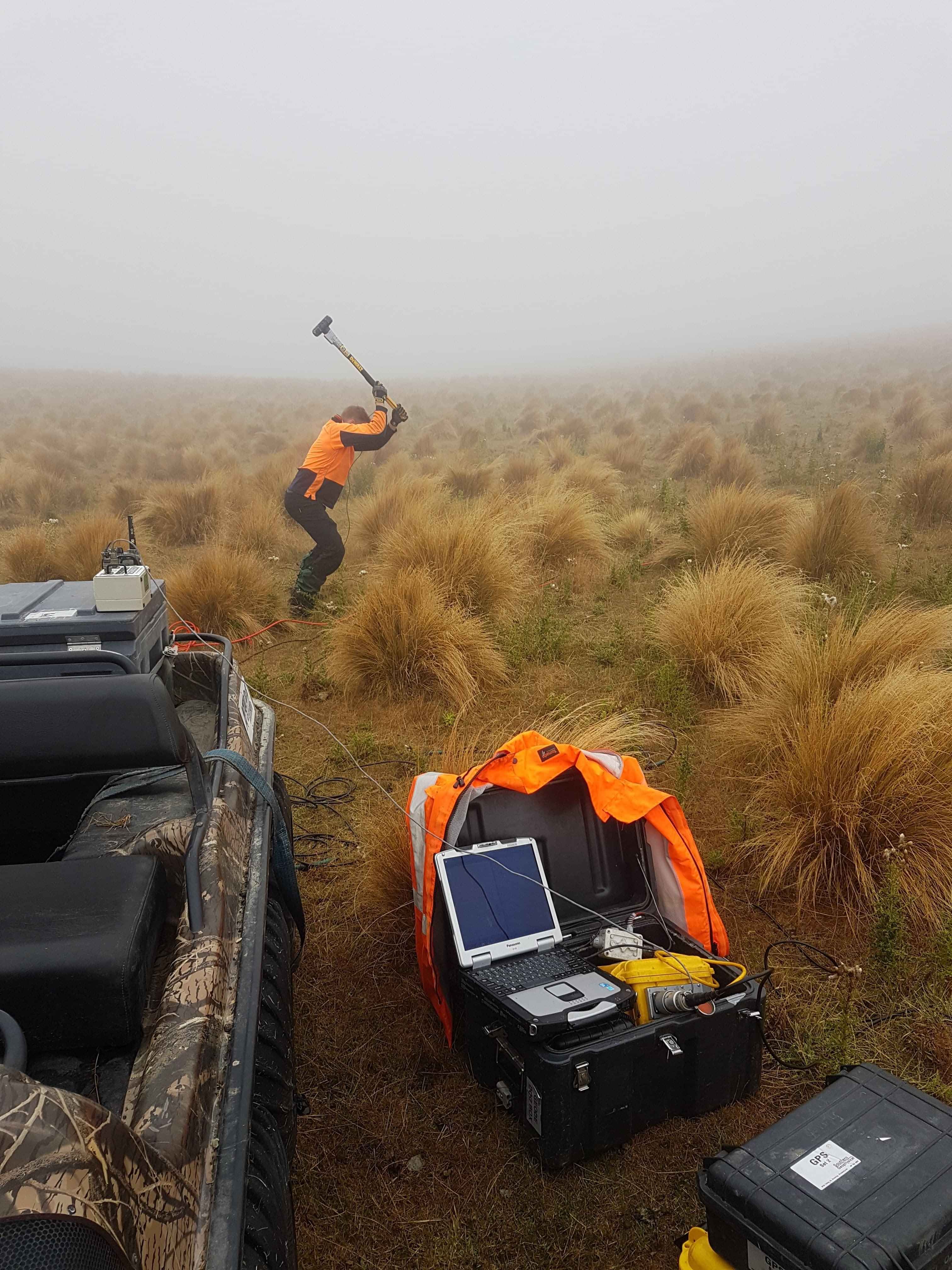
MASW is a non-intrusive method for obtaining shear wave velocities in the subsurface and works well in difficult to access locations, such as windfarm turbine sites. Shear wave velocity is strongly related to stiffness of the ground. With the results of a MASW survey, an engineer can design turbine footings suited for each individual turbine location.
Ground Penetrating Radar (GPR)
A key element of windfarm site investigations is bedrock profiling and void detection. Modern GPR systems can image the subsurface in exceptionally high resolution, providing depth to bedrock for contour maps, and enabling skilled operators to pinpoint potential voids within the subsurface for avoidance or additional investigations.

Ground Conductivity (EM31)
A major concern when constructing turbines on a ridgeline is the presence of sinkholes, particularly along limestone capped ridges which are common throughout New Zealand. A rapid and cost-effective way of locating and defining the extents of sinkholes is a conductivity survey using a Ground Conductivity Meter (EM31). Several turbine locations can be surveyed in a single day, providing excellent reconnaissance for potential problem areas.


